Importing Ladybug images into an ArcGIS framework
Last Revision Date: 8/26/2015
When used in conjunction with a GPS receiver, the Ladybug spherical cameras can embed GPS data into the raw images that comprise a recorded stream file. With this data, you can then import images for use in an ArcGIS framework. For more information about using a GPS receiver with your camera, see the following topics in the Ladybug SDK Help:
-
- Working with GPS Data - Shows how to get started with a GPS receiver using the LadybugCapPro application.
- ladybugSimpleGPS - Introduces a source code example, included with the Ladybug SDK, for configuring a GPS receiver using the Ladybug API.
In order to use recorded images with ArcGIS, the GPS data must be maintained with the images. One useful solution is to output the recorded images to JPEG format using the LadybugCap or LadybugCapPro applications, included with the Ladybug SDK. When you do this, the GPS data is automatically written to the EXIF header of the images. For more information, refer to the topic Viewing and Outputting Stream Files in the Ladybug SDK Help. Alternatively, you can use the Ladybug API to extract GPS data from the raw images. For more information, refer to the ladybugSimpleGPS source code example, included with the Ladybug SDK.
Once you have output your images, you are ready to import them into the ArcGIS framework. We suggest the following alternatives:
-
- adding images as layers or attributes, or
- using a third-party application, such as ArcPhoto.
Note: We do not provide support for third-party software.
Related Articles
-
 Application Story
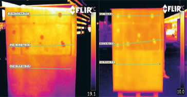
FLIR cameras support analysis and diagnosis of external thermal insulation systems
Read the Story -
 Case Study
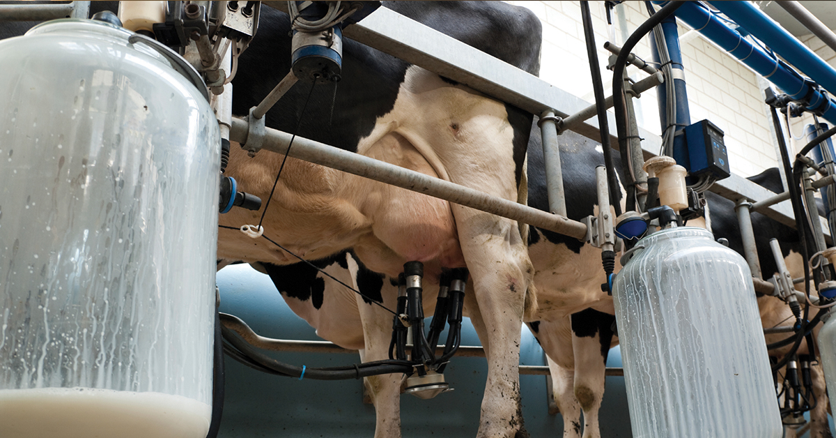
Automatic Health Check in Dairy Farms Using FLIR Thermal Imaging Cameras
Read the Story -
 Deep Learning
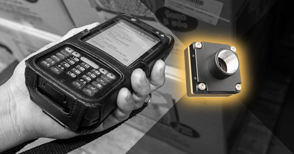
Comparing Deep Learning Cameras with Smart Cameras
Read the Story